The outside is the only place we can truly be inside the world.
Daniel J. Rice
The different regions of Patagonia
The Chilean part of Patagonia consists of two big zones, Los Glaciares (south) and Los Lagos (north). My destinations Puerto Natales, Punta Arenas, Torres del Paine, El Calafate and El Chaltén are all located within the Los Glaciares region. This is also why you might have recognized that I hiked to many glaciers. The Carretera Austral connects the Los Glaciares region with the Los Lagos region in the north.
The Southern Patagonian Ice Field, naming the Los Glaciares region, is short and easily described on Wikipedia: The “([…] Campo de Hielo Sur), located at the Southern Patagonic Andes between Chile and Argentina, is the world’s second largest contiguous extrapolar ice field. It is the bigger of two remnant parts of the Patagonian Ice Sheet, which covered all of southern Chile during the last glacial period, locally called the Llanquihue glaciation.”
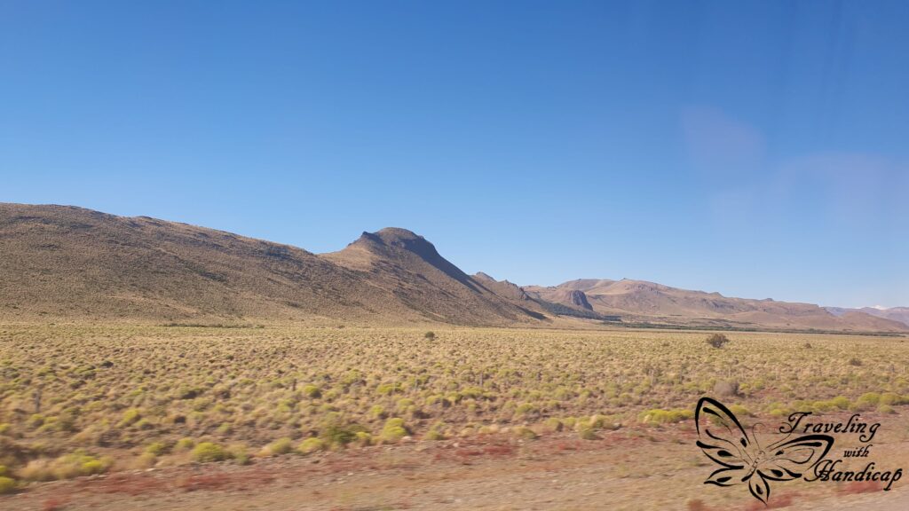
Along the Pacific coast, there are fjords all along Patagonia. The further up north, especially within the lakes’ region, there are also temperate rainforests. The Lakes’ region also extends into Argentina, so does the region Los Glaciares at El Calafate / El Chaltén. Further away from the Andes, Argentinean Patagonia consists of deserts, tablelands, and steppes.
While Patagonia is bound by the Pacific on the west and Atlantic on the east, the Strait of Magellan, the Beagle Channel and the Drake passage connect the two oceans. Just below the Strait of Magellan is Tierra del Fuego, the southernmost tip, which I consider not to be part of Patagonia.
Los Lagos
Northern Patagonia distinguishes itself through the many lakes. These are not just lakes, they are surrounded by many volcanoes, active and passive/sleeping ones. In this region, the border between Chile and Argentina is within the Andes. In contrary to southern Patagonia, the area within Chile is rather flat, just with hills. The Andes reach further into Argentina, but still not much rain reaches Argentina.
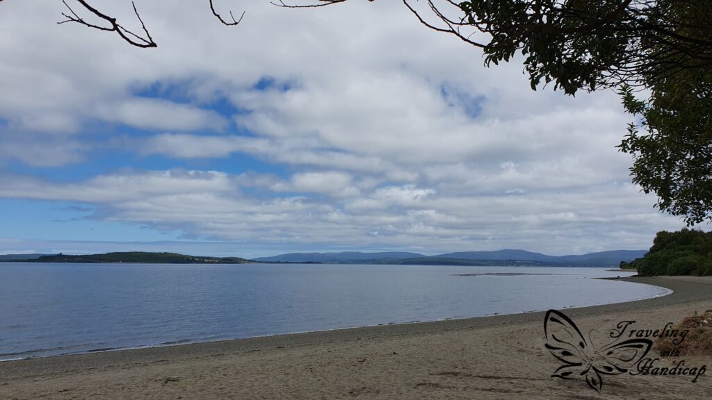
The Island of Chiloé is considered as part of the lakes’ region within Chile. However, many Chileans have prejudices regarding the people from Chiloé, regarding them as “less” of something. In my opinion, Chiloé is different from the “mainland” lakes region. However, I haven’t spent as much time in Chiloé to write a separate article on it.

Within Chile
… on mainland Chile
After finishing the Carretera Austral in Puerto Montt, I went to Puerto Varas as my first stop within the lakes’ region. In Puerto Varas, I stayed for a day to organize stuff and relax. Then, I rented a car for a couple of days to drive around the lakes’ region of Chile, which includes the Island Chiloé. I went to Chiloén first and then to lakes around Puerto Varas.
Puerto Varas
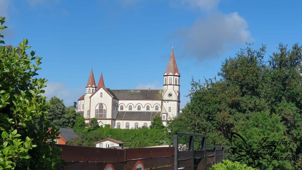
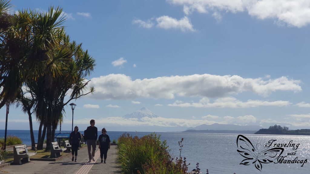
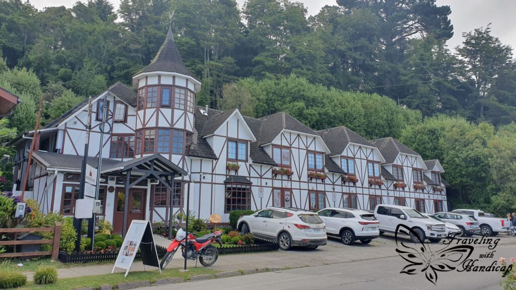
Puerto Varas looked so German, a lot more than other places along the Carretera Austral, which I already considered as “having German influence”. By coincidence, I even stayed at a hostel which belongs to a German guy who moved from Munich suburbs to Chile more than 20 years ago. I recognized some typical (south-) German peculiarities, like the church on top of a hill (“Kirchberg”).
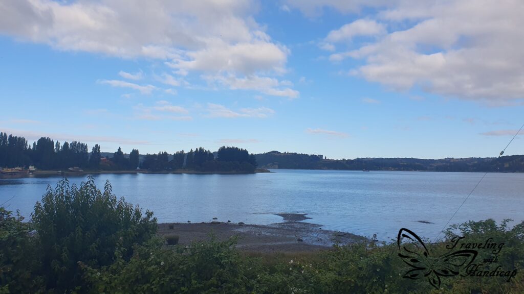
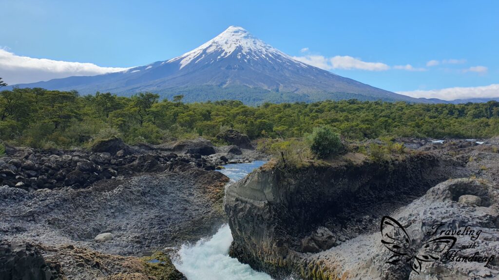
The atmosphere in Puerto Varas is very friendly and relaxed. Nevertheless, it is very wet, located at a big lake to the east and not far from the Pacific on the west. I think I wouldn’t be able to live there, the high humidity but cool temperature is draining. If the weather is good, with (almost) no clouds, you can see the Osorno volcano in the background, behind the lake.


Ensenada & Petrohué
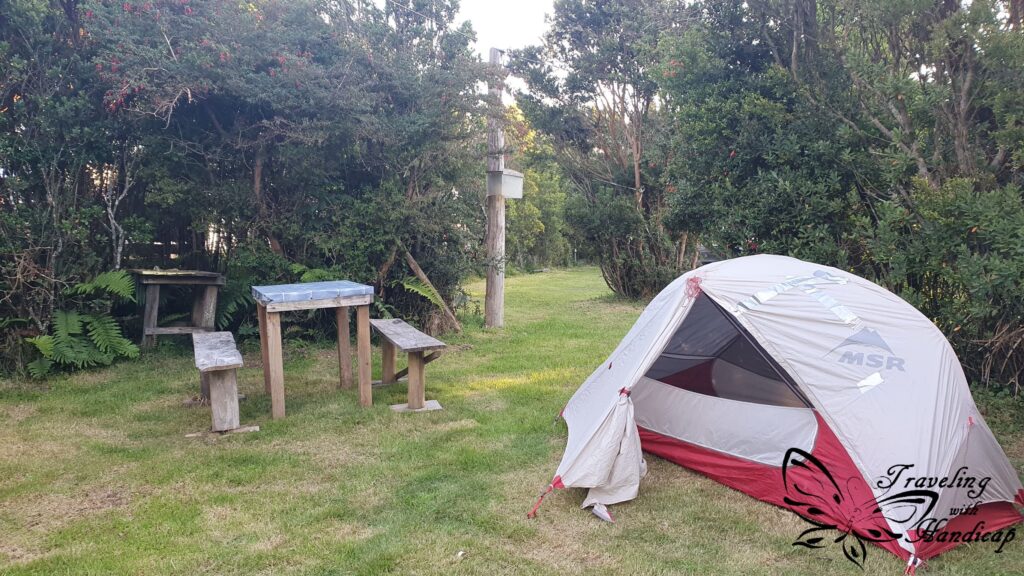
After driving around to explore the Island of Chiloé (extra section below), I explored the region around Ensenada, very close to Osorno (volcano). In Ensenada, there are different camp spots, right at the beach. However, they are quite expensive. You might consider camping further away, on the road towards Las Cascadas. I identified less “hyped” camp spots at the beach while driving this road.
On the way from Ensenada to Petrohue, there are the Petrohué Waterfalls. Many tourists stop there, maybe not only because of the waterfalls, but also the view of Osorno. However, in my opinion, they are not worth the high entrance fee they charge.
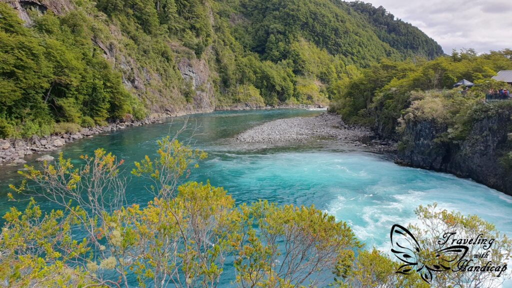
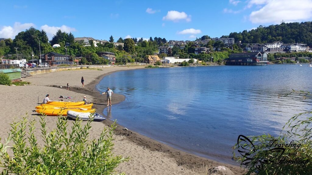
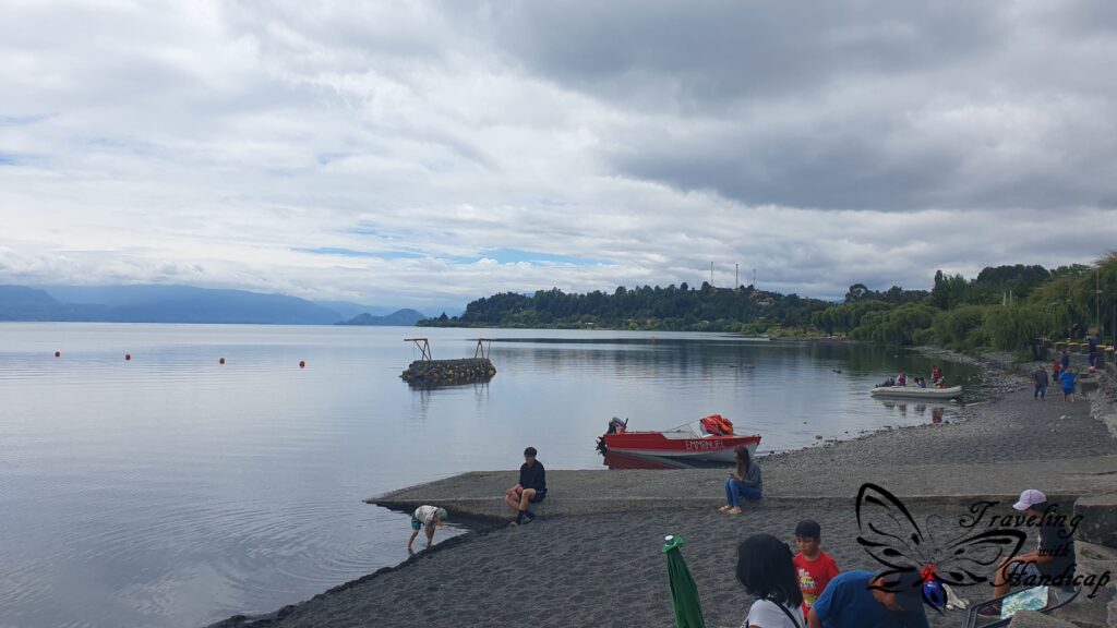
It’s better to continue to Petrohue at the Lago Todos Los Santos. There is a beautiful black beach, boat cruises and a ferry for Peulla (only accessible through water). Furthermore, the walking track Sendero Paso Desolación starts from the end of the road in Petrohue. I stayed at the beach of Petrohué, didn’t do the Sendero though, as it was too late in the evening and the next day it was too cloudy. I wanted to check out other places because I couldn’t see Osorno through the clouds.

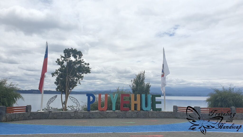
Lago Rupanco and Lago Puyehue
From Ensenada, I drove along the other side of Lago Llanquihue towards Lago Rupanco and Lago Puyehue. There is only a little viewpoint of Lago Rupanco along the road, not really any bigger towns to stop. So I went to the town Entre Lagos at Lago Puyehue. I sat and relaxed at the beach for a while, watching local people setting up their stores for a little (afternoon) market.
Frutillar
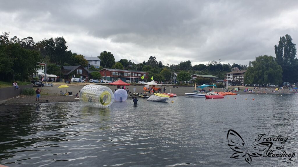
From Entre Lagos I continued to Frutillar. The town consists of three parts, Frutillar, Frutillar alto, where people live, and Frutillar bajo at the lake, with a beach and many restaurants. Frutillar bajo is the touristy part, it’s difficult to find a parking spot. Frutillar is THE German town within the region, there is even a museum of German ancestry. I didn’t enter it as it was mainly a garden with flowers that you could watch from the outside. 😉
Without clouds, you can see the Osorno volcano in the background. The beach was really busy during the afternoon and evening. I camped close to Frutillar and passed the beach again on my way back to Puerto Varas. In the morning, there was literally nobody. Within (at least Patagonian) Chile, shops or restaurants won’t open before 10. If you are out for a walk earlier, you might be almost the only one, as people tend to sleep in long. This implies also comparatively late lunch and dinner. People have lunch at times, which I would consider as early dinner back in Germany.


… the Grand Isla de Chiloé
According to my travel guide, people from “mainland Chile” consider people from Chiloé as “special” or “dumb”. I’m not sure how true this is. However, during my stops, I recognized some differences in the appearance of people on Chiloé compared to the mainland lakes region. Maybe people from Chiloé have other descendants, maybe they are not as mixed with all the Spanish, Italian, and German immigrants from surrounding Chile.


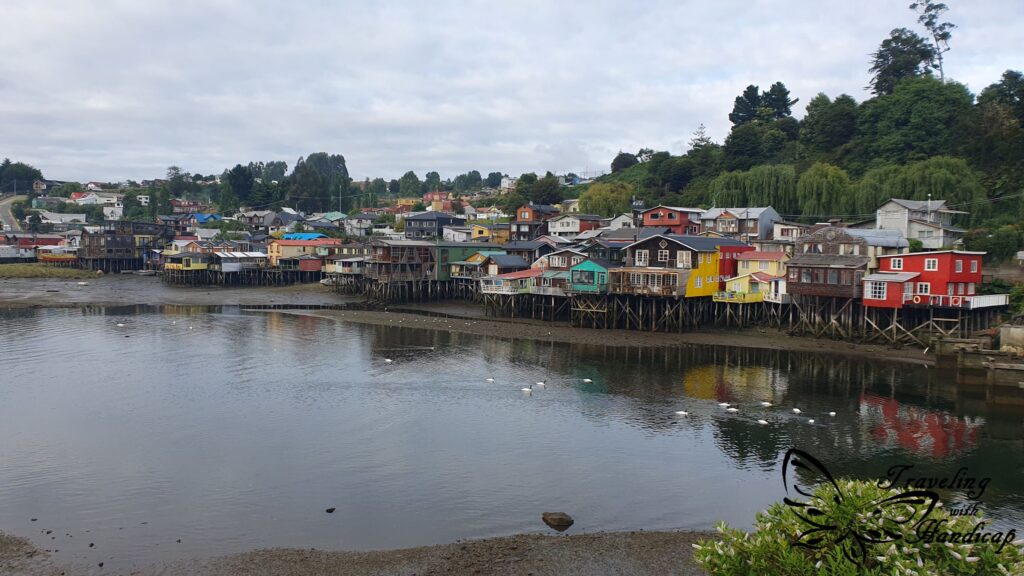
Castro
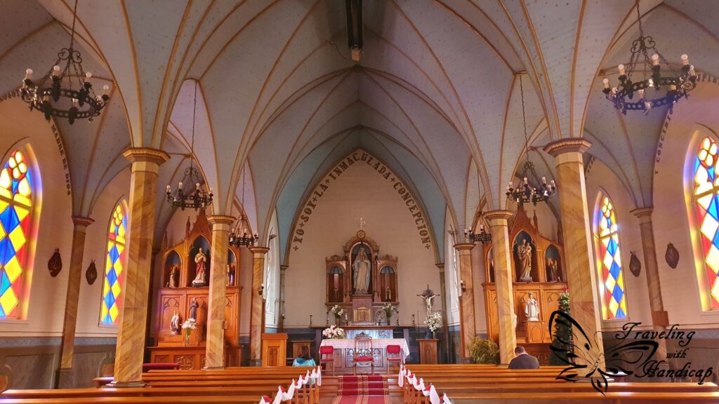
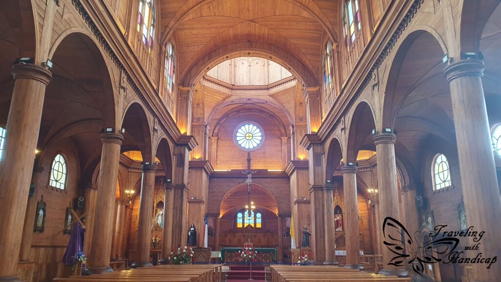
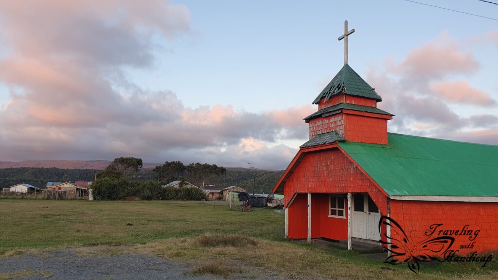
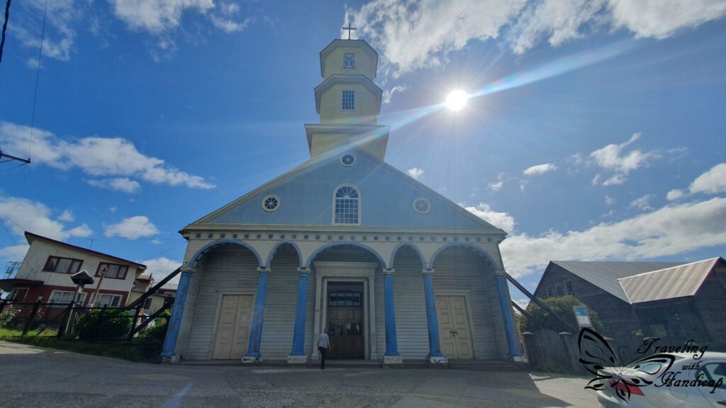
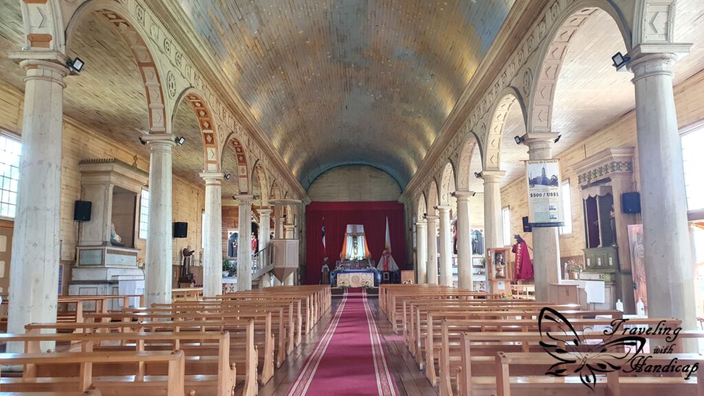
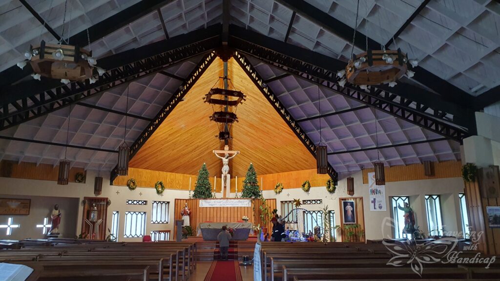
After taking the Ferry to cross over to Chiloé, my first stop was Castro. Castro and Ancud are the two big towns on Chiloé. From Chaitén, you could also take a ferry to Castro if you don’t continue up north to Puerto Montt (along the Carretera Austral). Castro is on a hill and is famous for its houses on stilts, along the coast. In Castro, I also visited a wooden church (very common for the region) the first time. I have recognized some wooden churches next to the road, most of them looked rather closed and not stable anymore.


Cucao
After visiting Castro, I had to find a camp spot somewhere. It was indeed helpful to have a Chilean sim card with data volume, so I could read reviews of many camp spots. I figured that around Cucao, at the Pacific coast, would be a couple of good ones. The drive was really scenic and also relaxing since the road was paved. The main road crossing Chiloé from north to south is the Panamericana (Pan-American highway), ending at Quellón.
The large majority of roads to the left and right were gravel roads, only very few were paved. Nevertheless, there was a bus stop at every (gravel) road access, since there would be people living who might need to take one of the mini-buses to get around. One other checkpoint on my travel bucket list: driving along (a part of the) Panamericana, being the driver of the car, not riding a bus etc.
As I learned in Cucao, many camp spots are still closed, have not reopened or not survived the CoVid19 lockdown. So I had to check out some camp spots until I found a nice one. Directly at the lake, still remote, almost at the Pacific, and all that without rain during the evening.


Parque Tepuhueico
From Cucau I drove to the Parque Nacional Chiloé as well as the Parque Tepuhueico to hike to the Muelle de Las Almas. These roads were dirt roads, though. I had a proper car, but no 4×4. This is why driving these roads was rather exhausting than scenic. These (national) parks are quite accessible and worth to be visited. The huge national park Tantauco in the south is not really accessible. The road was in such a bad condition that it’s only possible by 4×4. Moreover, the road is still quite short, you would either hike for days or take a flight from Castro to get to even more remote spots within the park.
Quellon
From Cauco I drove all the way down south, to the southernmost town of Chiloé, to Quellón. The town itself isn’t any special and could be skipped. The reason for why I went there was the official end of the Panamericana. I wanted to drive to that spot. Actually, I was quite lucky with the (almost always rainy) weather that day, so I used the beach for an extensive picknick.


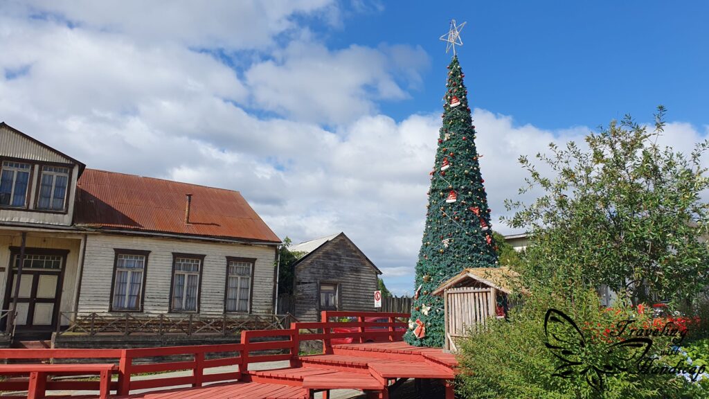
Chonchi and Necrón
On my way back up north, I stopped at Chonchi and Necrón, where I camped. Chonchi is most likely one of the best places on Chiloé, at least close to the Panamericana. The houses had the best condition, not just broken “paper or corrugated sheet” houses as in many other towns.
Ancud
My last stop on Chiloé, before taking the ferry back, was Ancud on the north of the island. There, I visited the Fuerte San Antonio and its center. To me, the center felt quite tiny and rather old / not renovated. For sure, it depends on one’s preferences, however, I liked Castro more than Ancud.


Within Argentina
Border Crossing: Paso Cardenal Antonio Samoré
Well, I have done a couple of border crossings between Chile and Argentina on land already. The border crossings down south were quite relaxed. However, this one was so busy, both on Chilean and Argentinean side, and in both directions. That’s why I’m specifically pointing out to this border crossing. Thankfully, I was on a bus, as the queues for cars to pass were huge. There is an extra road for buses, which is -at least during busy daytime – much faster than by car. The luggage was checked on both borders, when entering and leaving. Actually, I still don’t know why they also check it as extensively when you’re leaving. Not sure what they are looking for.
However, consider a lot more time for that border crossing. At least one hour for the Chilean and one hour for the Argentinean checkpoint – by bus. In the early morning, it might be faster by car, during busy daytime, it might take much longer. There is actually quite a long road to drive to get from one to the other checkpoint. There is even a parking area somewhere in the middle. I am not sure, maybe you can even go hiking there? I have seen some parked cars without people around. Potentially, there are some nearby viewpoints. Whenever you’re driving, consider the official opening and closing hours of borders. You cannot pass 24/7.


The lakes Region in Argentinia
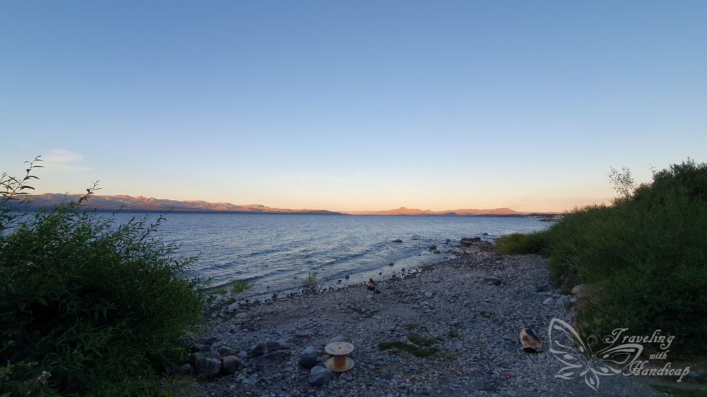
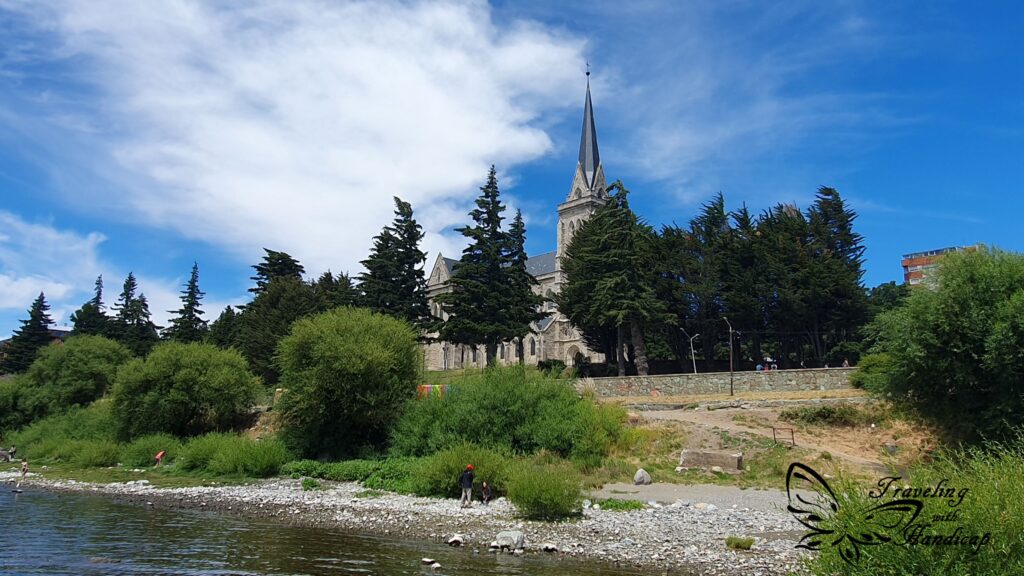
I crossed the border in order to reach Bariloche, a very busy city at Lago Nahuel Huapi. If you consider visiting Bariloche, check the Argentinean holidays first. I went during January and felt as if whole Buenos Aires is in Bariloche for their summer holiday. So it was super busy and hectic. Other travelers have told me that it’s a lot better to go during shoulder season (December, March). Bariloche is famous for its chocolate, I tried some good ones. A drink of chocolate is too much of sweetness for me, though. 😀
Moreover, Bariloche is also known as an access point to the Seven Lakes. Well, I initially wanted to rent a car to drive around the lakes. However, the rates were quite high (higher than in Chile), so I didn’t want to rent a car just for myself. Moreover, the roads were overcrowded, too many tourists driving around in their (rented) cars. So I stayed within the area of Bariloche and took minibuses to get around.

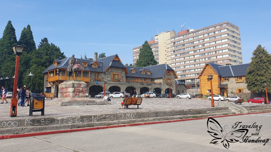
Bariloche
Bariloche itself isn’t too special. Honestly, there are plenty of hotels and touristy stuff set up. It didn’t feel as if there are people living there all year who are not working in the tourism industry. Well, in my personal opinion, all the surroundings of Bariloche are more beautiful and more relaxed. If you are into partying (as many young people from Buenos Aires seem to be), then, of course, stay in Bariloche.
One characteristic distinguishing Bariloche from the lakes’ region of Chile is the material of houses. While on Chilean side, they are rather wooden and with corrugated sheets, stone is used on Argentinean side. So the houses look a lot more stable to me, especially for the many levels they have. Like this, houses look more similar to south-eastern Bavarian / Austrian style.


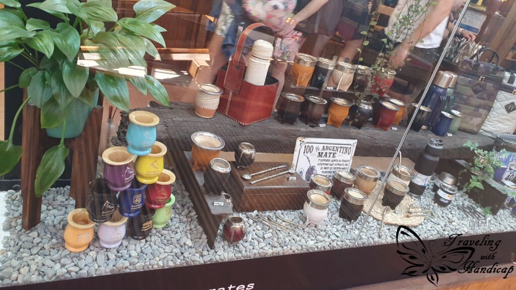
Argentina wouldn’t be Argentina without Mate. No matter where you go, you always find shops for Mate equipment. Argentinians take this quite serious, they always carry a bottle of hot water to be able to have Mate wherever they want. I don’t really like Mate, too much of a bitter-herbal taste. However, this could be like coffee, at first you don’t like it because of its bitterness, then you get used to it and at one point you always want to have it. Well, unfortunately they only have instant coffee in Patagonia, it’s difficult to find cafés selling freshly brewed coffee – which is expensive then.

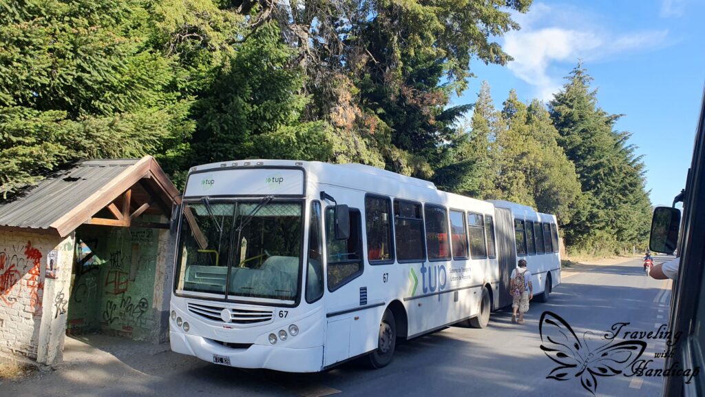
Around Bariloche
The minibus network is quite good, takes you to many nice beaches and viewpoints. It’s also very easy to take the bus, you have to have the “SUBE” card and charge it with a few hundred Pesos. One ride (at that time) was 115 Pesos. When entering the bus, you tap your card and take a seat, super straight forward. Unfortunately, buses might not stop if they are full and can’t take any more passengers in. So even though they are scheduled every 20 minutes during daytime, you might have to wait for longer.
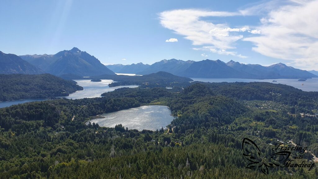
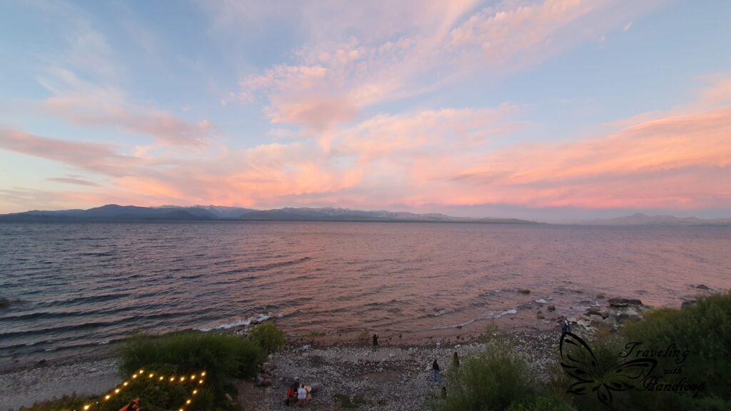
I went to Cerro Campanario, a great viewpoint for Lago Nahuel Huapi and the surrounding smaller lakes. In the background, you see the Andes. It’s possible to both hike up to the viewpoint or take a chairlift. Considering the chairlift option, the Cerro Campanario is the cheapest of the three chairlifts for Cerros with viewpoints.